Search UPI Informationin Rwanda
Access comprehensive land parcel details using the Unique Parcel Identifier (UPI). Get ownership information, location data, and property valuations instantly from official sources.
U.P.I. ni iki?
What is a Unique Parcel Identifier?
The UPI is a unique code system that identifies every land parcel in Rwanda. It's like a digital address for land, making it easy to locate and access information.
Ibisobanuro / Definition
What UPI Represents
Kinyarwanda: UPI ni imibare igaragara ku byangombwa by'ubutaka, igizwe na kode (codes) zibitse amakuru y'aho ubutaka buherereye, ndetse na nomero y'ubwo butaka.
English: UPI is a number that appears on land documents, composed of codes that contain information about where the land is located, as well as the land parcel's unique number.
Imiterere / Structure
Five-Part Code System
Kinyarwanda: Imibare igize UPI ni mu byiciro bitanu. Ibyiciro bine bibanza bihagarariye inzego enye z'ubuyobozi, ari zo: Intara, Akarere, Umurenge n'Akagari. Icyiciro cya gatanu ni nomero y'ubutaka.
English: The UPI consists of five parts. The first four parts represent the four administrative levels: Province, District, Sector, and Cell. The fifth part is the unique land parcel number.
Urugero / Example
Each part represents a specific level of Rwanda's administrative structure
Intara
•Province
Part 1 of 5
1Akarere
•District
Part 2 of 5
04Umurenge
•Sector
Part 3 of 5
05Akagari
•Cell
Part 4 of 5
06Nomero y'ubutaka
•Land Parcel Number
Part 5 of 5
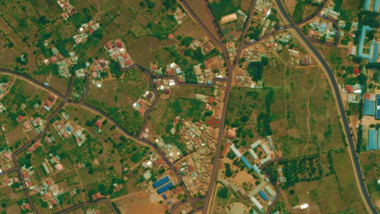
12345Ready to Search Land Information?
Use the search bar at the top to enter any UPI and access comprehensive land details, ownership information, and interactive maps.

How It Works
Access comprehensive land information in three easy steps — fast, secure, and reliable
Enter UPI
Type in the Unique Parcel Identifier in the format X/XX/XX/XX/XXXX

Search Database
Our system retrieves official land information from the national registry instantly
View Results
Get detailed ownership info, interactive maps, and complete property details